Marin Cyclists start their Tiburon Loop at Corte Madera Town Park. The club's Ride with GPS route runs 21.1 miles, climbs 848 feet, and is mapped as 99 percent paved. The starting point makes sense. From the middle of Corte Madera you can ride off-street in almost any direction, north to the Larkspur ferry, east along the bay, or south toward Mill Valley and Sausalito.
Here's how each direction rides.
Old Town's newest connector
The Hart Street Connector Path links Palm Avenue to the existing Corte Madera–Larkspur Path by way of Hart Street. At the Bicycle and Pedestrian Advisory Committee's November 10, 2025 meeting, the project was reported complete, and the town scheduled a ribbon cutting for November 20, 2025, at Hart and Palm.
With more people on the paths, the town is also looking at comfort for everyone sharing them. The committee discussed solar-powered advisory speed signs for the Bay Trail at San Clemente, modeled on signs Larkspur already uses, with general support for a second one on the Larkspur–Corte Madera Path near the Hart Street Connector and Menke Park. Members also suggested trees along that path and signs pointing faster cyclists toward San Clemente Drive.
North: to the Larkspur ferry
The route toward the ferry is a smooth one. The Corte Madera Creek bridge near the Larkspur Ferry opened on a Thursday, July 14, according to the Marin County Bicycle Coalition. Its 12-foot multi-use path replaced a 3.5-foot one, and it was built to connect toward the SMART Path and the ferry. The Transportation Authority of Marin describes the larger greenway continuing from the bridge touchdown along Old Redwood Highway in Larkspur toward the Greenbrae Pedestrian Overcrossing.
On the other side of the bridge, the eastern segment of the Corte Madera Creek Path starts at Remillard Park on Sir Francis Drake Boulevard. It passes the Larkspur Ferry Terminal, goes under US 101 to Niven Park, and ends just past the park, with creek views and a boardwalk along the way. If you continue onto SMART's pathway, its rules are 15 mph or less, yield to pedestrians, keep right, pass on the left, and call out when you pass.
East: along the bay and around the Paradise Loop
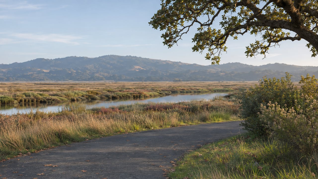
The east side has some of the most pleasant riding in town. The Redwood Highway and San Clemente Drive paths run 1.21 miles on asphalt, from the Sandra Marker Trail at Redwood Highway and Wornum Drive to Paradise Drive at San Clemente Drive, and they're part of the Bay Trail. Shorebird Marsh sits at San Clemente Drive and Redwood Highway, and the Corte Madera Chamber describes the area as flat and paved for walking and cycling. The shoreline route at Redwood and Wornum also reaches Muzzi Marsh in the Corte Madera Marsh Ecological Reserve.
Stronger riders can keep going on the Paradise Loop. Plan for a road stretch: the Metropolitan Transportation Commission's Bay Trail map notes that Paradise Drive has no path, bike lanes or sidewalks, and doesn't recommend that leg for pedestrians, families cycling with young children, or inexperienced cyclists. Along the way you pass Paradise Beach Park, a fee-based picnic and fishing stop, and come into downtown Tiburon, where ferries to Angel Island and San Francisco leave from piers off Main Street. The paved Tiburon Bay Trail runs between downtown and Blackie's Pasture, about 2.5 miles each way, a good out-and-back on its own.
Improvements are on the way for the Corte Madera part of Paradise Drive. At the February 12, 2026 Larkspur–Corte Madera Safe Routes task force meeting, the town reported Paradise Drive Complete Streets construction planned for 2027, and a $1.27 million TAM grant for a new path segment from Seawolf Passage to Prince Royal, with construction possible in late 2027 or 2028.
South: over the hill to Mill Valley and Sausalito
Heading toward Mill Valley, start on the Sandra Marker Trail, a one-mile asphalt trail between the Redwood Highway and San Clemente paths at Wornum Drive and the NWP Railroad Trail near Elm Avenue.
Then comes the hill. TrailLink reviewers describe two ways over it. Horse Hill is the easier one. Camino Alto is higher and runs on a narrow road with no shoulders.
On the far side is the payoff: the Mill Valley–Sausalito Pathway, 3.7 flat miles between Underhill Road in Mill Valley and Harbor Drive at Bridgeway in Sausalito. It's asphalt, with a few wooden bridges and a gravel equestrian shoulder. Marin County Parks notes that it gets busy and asks riders to keep right, pass on the left, call out before passing, ride at safe speeds and yield to pedestrians.
One tip for this winter: the path crosses Bothin Marsh, and the Bicycle Coalition says king tides flood that stretch. The California King Tides Project lists November 24 to 26 and December 23 to 25, 2026, then January 21 to 22, 2027, so check the calendar before a morning ride. Longer term, Marin County Parks is planning a raised, wider path through the marsh, with public environmental review targeted for 2027.
The rides at a glance
Direction | Route | Good to know |
|---|---|---|
North | Corte Madera Creek bridge and creek path to the Larkspur ferry and Niven Park | 12-foot bridge, boardwalk, creek views |
East | Redwood Highway and San Clemente paths along the Bay Trail, Shorebird and Muzzi marshes | Flat and paved, 1.21 miles |
East, longer | Paradise Loop to Tiburon, 21.1 miles from Town Park | Road stretch on Paradise Drive; for experienced riders |
South | Sandra Marker Trail, then Horse Hill or Camino Alto to the Mill Valley–Sausalito Pathway | Horse Hill is the easier climb; check king tide dates for Bothin Marsh |
If where you ride is part of deciding where in Corte Madera to live, I'm glad to walk you through how the Sandra Marker Trail, the creek path and the San Clemente side connect to different parts of town. Paul O'Neil is here when you want that conversation. Let's Connect.